
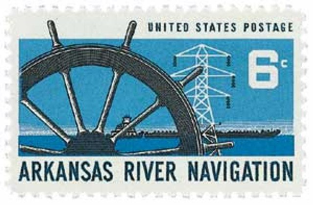
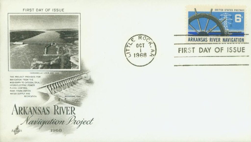
On June 5, 1971, the McClellan-Kerr Arkansas River Navigation System (MKARNS) was officially dedicated after decades of work. One of the largest civil works projects up to that time, it accounts for more than $1billion in trade transportation each for Arkansas and Oklahoma.
As early as the 1920s, there had been calls for river development in Arkansas and Oklahoma. Frequent flooding had caused significant damage, and many hoped this could be prevented. A group of concerned citizens founded the Arkansas River Flood Control Association (ARFCA) to lobby Congress for a flood control program. Congress passed a flood control act within a year.
In 1935, the US Army Corps of Engineers claimed that the project was possible, but the cost was too high, especially during the Depression. However, independent estimates for the project were much lower and Congress decided to move forward with the project. In 1936, they passed a flood control act that established the Southwestern Division of the Corps of Engineers that began working on the Upper Arkansas, Red, White, and Black River basins.
A decade later there were more calls for improvements to the Arkansas River navigation system. On July 24, 1946, Congress passed the Rivers and Harbors Act, providing $55 million for the Arkansas-Verdigris Waterway. The plan included funding for hydropower, flood control, recreation areas, and navigation. Additional funding would be provided year by year on a dam-by-dam basis. Arkansas Senator John L. McClellan was on the Senate Appropriations Committee and Governor Robert S. Kerr became a junior Oklahoma senator, so they could push for continued Congressional support of the project. It would later be renamed in their honor.

In the coming years, new bills secured more funding for the project including flood protection, bridges, reservoirs, and more. The project was put on hold during the Korean War. In the 1950s, they faced a major engineering challenge. In an average year, 100 million tons of silt flowed down the river that could impede navigation. Hans Albert Einstein (son of Albert Einstein) found the solution. He developed a way for the river to clean itself to reduce the sediment flow. Parts of the river would be deepened, straightened, and narrowed so the river would flow faster and flush out sediment. The plan worked so well, $31 million was able to be removed from the budget that would have been spent on dams to trap that sediment.

On October 4, 1968, navigation on the river was opened to Little Rock. By December 30, 1970, the system was ready for full use. The first commercial barge entered the Port of Muskogee on January 3, 1971. The system stretched 443 miles and included 17 locks and dams (today there are 18).
On June 5, 1971, the McClellan-Kerr Arkansas River Navigation System was officially dedicated in a special ceremony at the Tulsa Port of Catoosa. President Richard Nixon was the keynote speaker. The system has proven its worth, handling millions of tons of products each year that saves hundreds of companies money by using water transportation. The system also provides flood control, hydropower, water supply, wildlife conservation, and recreation. It’s been estimated that MKARNS prevented more than $1.3 billion in flood damages between 1974 and 1987 alone. Additionally, it produces electricity at about half the cost of coal.
| FREE printable This Day in History album pages Download a PDF of today’s article. Get a binder or other supplies to create your This Day in History album. |
Discover what else happened on This Day in History.
This was a great article. I worked on Lock And Dam #5 in 1966 for 1 1/2 years.
Great educational article. Nice research!