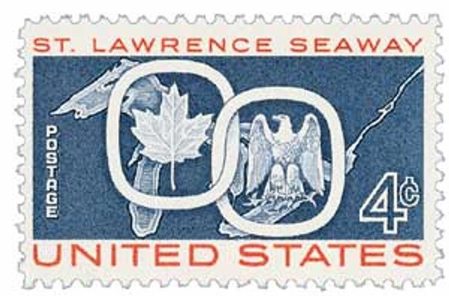
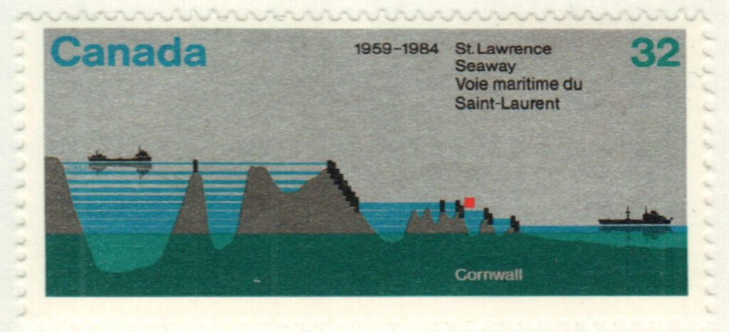
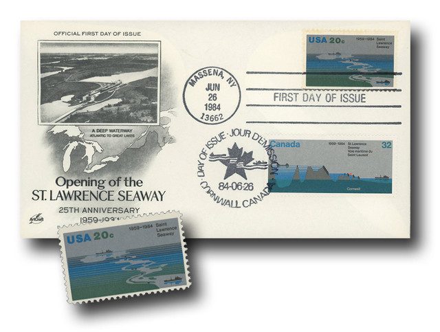
On April 25, 1959, the St. Lawrence Seaway opened, connecting the Great Lakes to the Atlantic Ocean.
The first proposals for a deep waterway linking the Atlantic Ocean to the Great Lakes were considered in the 1890s. It took more than a half-century to turn the ideas into reality.
The joint effort between Canada and the US finally received authorization to begin in 1954, when the St. Lawrence Seaway Development Corporation was formed. Construction of the St. Lawrence Seaway was nearly as ambitious as the Panama Canal project. Several villages and hamlets were flooded, and new towns were built for 6,500 displaced residents.
The existing system of smaller waterways was excavated, altered, or replaced by a single system 27 feet deep. The St. Lawrence Seaway is widely considered as one of the greatest feats of engineering in the 20th century. In addition to building locks and channels, hydroelectric plants were also constructed, reaching a total cost of $470 million.
The seaway opened on April 25, 1959, with the icebreaker D’Iberville making the first transit. Three months later, on June 26, Queen Elizabeth II and President Dwight Eisenhower presided over the formal dedication ceremony attended by some 20,000 people. After the ceremony, they boarded the Royal Yacht Britannia and entered the lift locks.

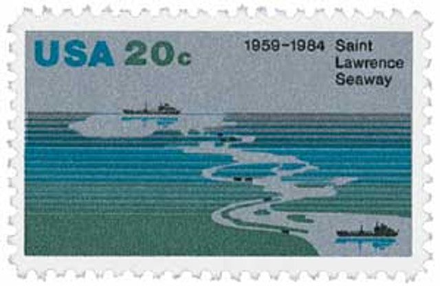
The St. Lawrence Seaway became a major commercial shipping route linking the Atlantic Ocean and the Great Lakes. The seaway extends from Montreal westward to the eastern shore of Lake Erie. It is formed by the St. Lawrence River, several lakes, and a system of canals and locks. In total, the seaway has about 65 miles of canals, plus 15 locks and three dams. Before the seaway was opened in 1959, cargo ships could not navigate many parts of this route, due to shallow or rough waters and changes in elevation.
Additionally, the seaway includes a hydroelectric dam that supplies power to parts of Ontario and New York. This dam created Lake St. Lawrence, which is more than 30 miles long. The hydroelectric project began producing power in 1958.
A joint project, Canada administers about 55 miles of canals and 13 locks while the US runs 10 miles of canals and two locks. The Saint Lawrence Seaway is the world’s longest deep-draft inland waterway. The seaway extends 2,038 nautical miles from the Atlantic Ocean at Montreal to Lake Superior. The series of canals that form the seaway permits ocean-going vessels to receive and deliver goods in 15 ports in the US and Canada. In addition to shipping goods from America’s heartland, the seaway also plays an important role in recreation and tourism.
The St. Lawrence Seaway is generally open for navigation from April to December. On average, 50 million tons of cargo passes through the seaway every year. Approximately 40,000 jobs depend on the seaway, which supports a vast array of industries. Grain from American and Canadian prairies is carried to the international market via the seaway and accounts for 40% of the total cargo. Iron ore, coal, and steel are also carried to various ports along the seaway. Shipping on the 2,300-mile waterway averages over $25 billion annually.
Click here to view historic photos of the St. Lawrence Seaway and click here to see a detailed map.
| FREE printable This Day in History album pages Download a PDF of today’s article. Get a binder or other supplies to create your This Day in History album. |
Discover what else happened on This Day in History.
I read these every day and enjoy them. Keep up the great articles.
What beautiful pictures and map! I was just a young boy when all of this was constructed. Soon after the dedication by President Eisenhower and Queen Elizabeth II, my family and I immigrated to the United States from Europe.
The article and time frame of this project brings back memories of Buffalo, N.Y. as the boom town it was. Currently making a nice recovery from “rust belt” status.