
On October 28, 1942, construction was completed on one of the most ambitious engineering projects of World War II — the 1,700-mile Alaska Highway. What began as a desperate military necessity became one of the great infrastructure achievements of the 20th century, linking Alaska to the continental United States for the first time by land.
As early as the 1920s, people in both the United States and Canada proposed a route that would connect the “Lower 48” states to the distant northern territory. Proponents argued it would open up trade, tourism, and settlement. But the Canadian government resisted, arguing that the project would benefit only a handful of residents in the Yukon Territory and would cost far more than the small population could justify. By the late 1920s, enthusiasm for the road was growing — but then came the Great Depression, which halted nearly all major public works projects.
Two decades later, the idea found new urgency in the face of war. When Japan’s aggression spread across the Pacific in the early 1940s, US military planners worried that Alaska — geographically close to Japan — was vulnerable. President Franklin D. Roosevelt revived the highway proposal as a way to defend North America’s northwest frontier and to transport troops and supplies quickly if Alaska came under attack.
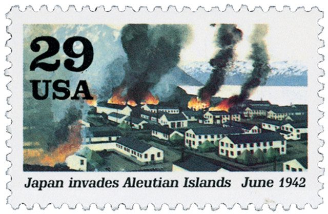

The project took on even greater importance after the Japanese attack on Pearl Harbor on December 7, 1941, and their subsequent occupation of two of Alaska’s Aleutian Islands, Kiska and Attu. The US and Canadian governments agreed that the highway was now a matter of continental defense. Canada consented to allow construction through its territory, on the condition that the completed highway would be turned over to Canadian control six months after the war.
In March 1942, the US Army Corps of Engineers began the enormous task. More than 10,000 soldiers — many of them working in extreme Arctic conditions — were assigned to the job. Equipment and supplies were shipped north by rail to Dawson Creek, British Columbia, the southern starting point of the route. From there, construction crews began working from both ends, carving a rough path through dense forests, mountains, and frozen muskeg.

The work was grueling. Crews battled blizzards, mosquitoes, mud, and swamps. They faced temperatures that dropped far below zero in winter and melted the permafrost into rivers of mud in spring. Yet, in just eight months, the teams met in the middle and completed the road — a feat many engineers later called one of the greatest construction achievements in US history. The highway was officially completed on October 28, 1942.
Initially called the Alaska-Canadian Military Highway, it was dedicated on November 20, 1942, and immediately became a crucial lifeline during the war. Supplies, fuel, and personnel traveled north along the rugged road to support the growing network of airfields and bases that protected the Alaska Territory.

After the war, as promised, the Canadian portion of the highway was transferred to Canada, where it became part of the Northwest Highway System. Over time, the rough military road was gradually rebuilt for civilian use. The original route, with its sharp curves and steep grades, was unsuitable for public travel, so engineers spent decades improving and rerouting it. Many of the early wooden bridges were replaced with steel, and dangerous mountain switchbacks were straightened.

As a result, the modern Alaska Highway is shorter — about 1,387 miles today compared to its original 1,700-mile length. Some sections were moved to bypass communities, yet the old milepost system remains. Though many markers are now inaccurate due to route changes, they’ve become part of the highway’s identity. One town in British Columbia, Wonowon (pronounced “one-oh-one”), even takes its name from its location at mile 101.

In the more than eight decades since its construction, the Alaska Highway has transformed from a wartime necessity into one of the most iconic roadways in North America. It made Alaska more accessible for settlement, commerce, and tourism, linking remote communities with the rest of the continent.

Today, improvements continue to modernize the highway, making it safer and more reliable for travelers who cross it each year — often drawn by its stunning scenery and historical legacy. What began as a hurried wartime project has endured as a lasting symbol of determination, cooperation, and human ingenuity.
| FREE printable This Day in History album pages Download a PDF of today’s article. Get a binder or other supplies to create your This Day in History album. |
Discover what else happened on This Day in History.
I drove that route in 1978, when portions were still dirt and gravel. One section was being “smoothed over” after a heavy rainfall, which I thought was great. There had been many potholes (Alaskan in size!) and I thought it would be a great joy to drive over the smoothed road. Then I discovered it wasn’t truly smoothed – the treatment it received served only to hide the heretofore visible holes; lesson jarringly received!
I liked your entry, Clyde! Very funny.
My uncle worked for theU.S. government in Alaska on the highway in 1942-43.
I turned my brand new car over in 1964/. My father was admitted to the hospital in Fort Nelson BC the radio was playing “Way Down in Columbus GA. My hometown. I don’t mind admitting I cried. Having turned my car over, my Dad in the hospital and being over 3500 miles from home.